<Return to Acidfree Albums> <Return to Maps>
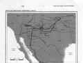
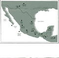
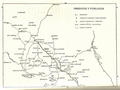
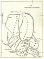
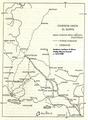
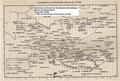
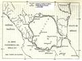
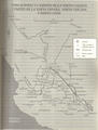
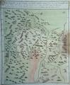
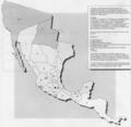
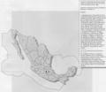
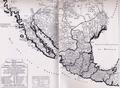
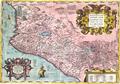
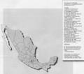
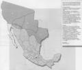
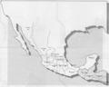
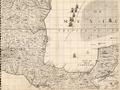
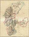
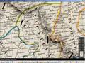
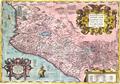
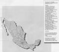
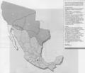
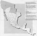
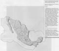
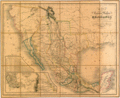
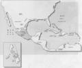
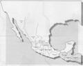
Maps showing the changing political boundaries of Mexico, early maps of New Spain and New Galicia.
- Inicie sesión o registrese para enviar comentarios

Maps showing the changing political boundaries of Mexico, early maps of New Spain and New Galicia.
🔒 Hidden attachments are restricted to registered members. Please log in or create an account to view files.